Back in the South Yorkshire floods of June 2007 the earth dam that creates Ulley Reservior was badly eroded by the torrential rainwater that poured over the edges of concrete overflow sluiceway that ran down the side of the earth dam. Had the dam given way it would not only have flooded Catcliffe and Treeton, it would also have cut the M1 motorway in two (the M1 was closed for several days which caused transport chaos in the north of England). The dam is shown here in 2009 being re-inforced with huge corregated concrete piles. The water level in the reservoir is very low, and Ulley Sailing Club is temporarily closed. The work is due to finish in 2010. See Ulley Pond for a photo of the normal water level.
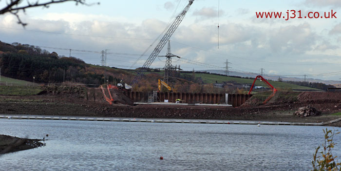
ulley reservoir dam from Reservoir Road
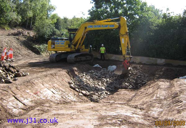
This show the hardcore base prior to pouring concrete into the drainage waterway.
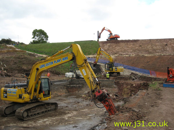
ulley reservoir dam under repair, from Rotherham Road. By Feb 2010 a concrete waterway had been build here,to drain floodwaters in a controlled manner (photo kindly supplied by Annette Wade)
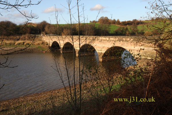
Bridge carrying Reservoir Road
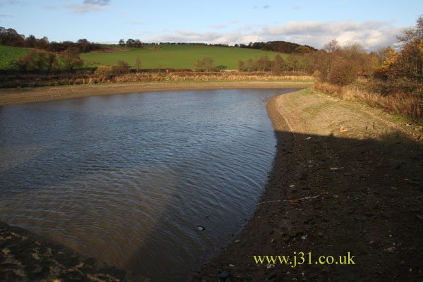
very low water level
See also Ulley Reservoir watershed map 1905
.