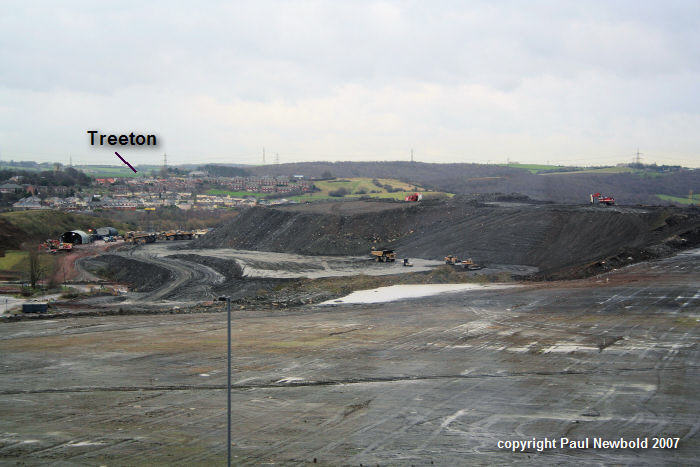
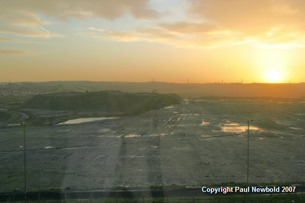
Orgreave 2007 - 2012
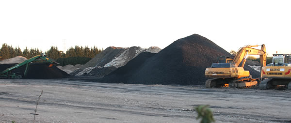
One of these pictures is a satellite image from 2000 that clearly shows the huge Orgreave opencast coal mine that dominates the south-westerly border of Treeton. Sheffield airport (RIP) in in the top left and the M1/M18 motorways are also clearly visible from space. The bottom two photos show the mine from ground level. There used to be a deep mined pit in Treeton, and a coking plant that recieved coal from the entire Yorks and Notts coalfields to be made into coke. The coke was transported by rail to places like the blast furnaces at Scunthorpe. The Orgreave coking plant was the scene of major clashes during the 1984 miners strike. I worked on the site of the coking plant briefly in the late 1980s but it was closed by the 1990s and was a gigantic hole in the ground until circa 2005. Post 2005 the site is being filled and reclaimed. The images below are of the spoil heaps in the process of being landscaped in December 2006. By 2012 a housing estate was being started on the site.
Although the Treeton opencast is history, there was opencasting going on, e.g. at Fence between Swallownest and Woodhouse Mill. Here are a couple of shots of the Fox Earth seam and the results of the open pit mining.
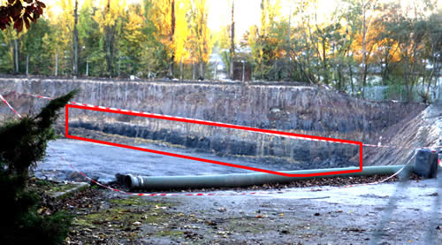
Fox Earth seam exposed at Fence near to Swallownest.